Conquering The Stratosphere
Flying Solar-Powered Birds For Low-Cost Ultra-High Resolution Imagery.Stratos is a solar-powered, high-altitude, long-endurance autonomous air vehicle built to capture persistent ultra-high-res imagery.
Better, Faster, and Cheaper.
Higher Resolution.
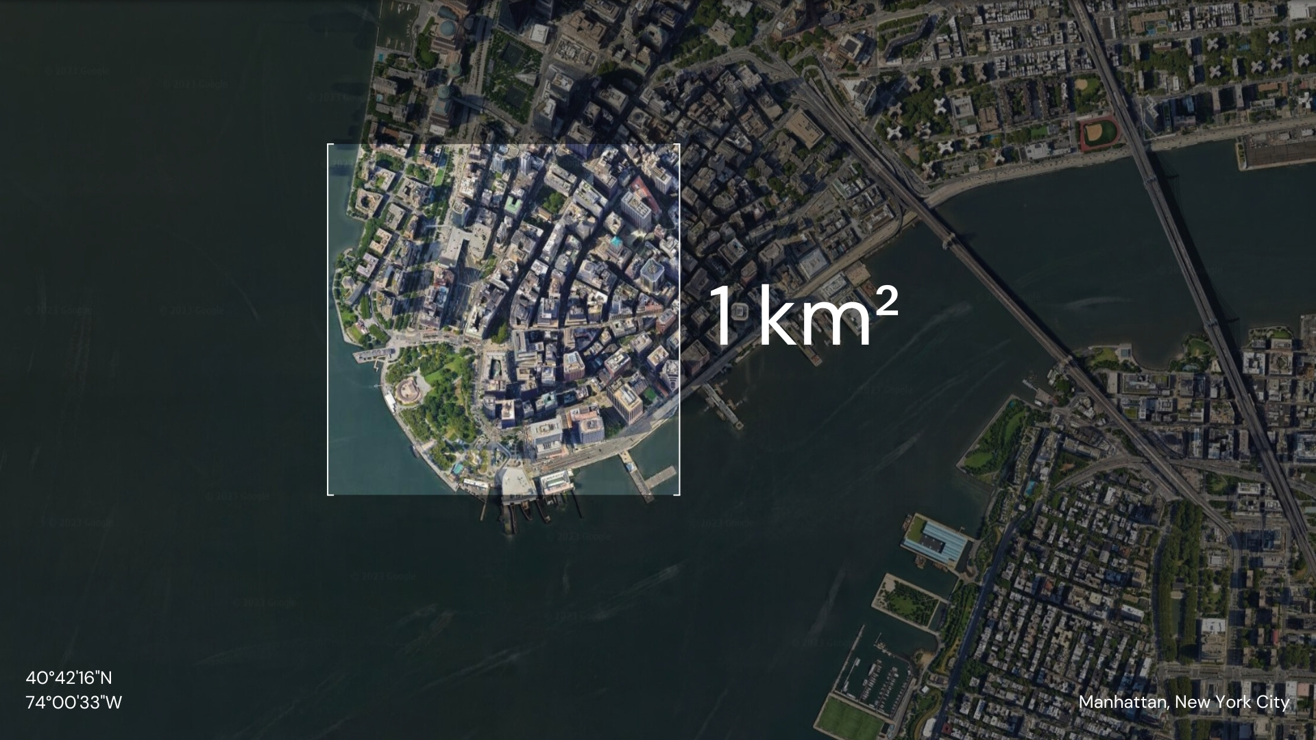
20x closer to Earth than the nearest satellite. Clearer images from 65,000 feet.
Real-Time Access.
Maintain a fixed position or transit to waypoints. On-demand continuous monitoring with immediate access to data.
/km2
Lower Cost Imagery.
Fraction of the cost of satellites. Solar-powered and airborne for months with autonomous operations.
Getting Up-To-Date Imagery With Insights Has Never Been Easier.
Get ImagerySo Easy Grandma Can Do It.
Select the location you want to capture imagery from.
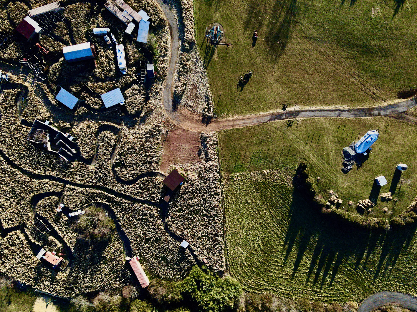
See 12cm High Definition Features Like Power Lines, Light Poles, and Road Signs.

Get In Touch.
Interested in learning more about our technology?